Download County Vector Maps of the United States
The United States zip codes are regularly split into 3 different levels of detail. The first number represents a group of states. This number works from 0 on the northeast coast and then zig-zags across the country incrementing in each new region before reaching the west coast which is 9.
The next piece of information comes after the third digit. These first three numbers signify the central mail processing facility, that will be used to sort all the mail for its surrounding area.
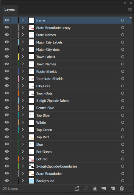
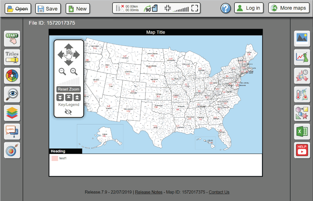
The 3-digit area map files download shows all 923 areas throughout the whole country, including Alaska and Hawaii. This download will include 9 different file formats that will allow you to work with in a multitude of different vector editing packages. If you aren't proficient with vector editing don't worry, every web design, printing or graphic design company will be perfectly happy with the files you recieve in this download.


