Download 5-Digit Zip Code Vector Maps
The United States zip codes are regularly split into 3 different levels of detail. The first number represents a group of states. This number works from 0 on the northeast coast and then zig-zags across the country incrementing in each new region before reaching the west coast which is 9.
The next piece of information comes after the third digit. These first three numbers signify the central mail processing facility, that will be used to sort all the mail for its surrounding area.
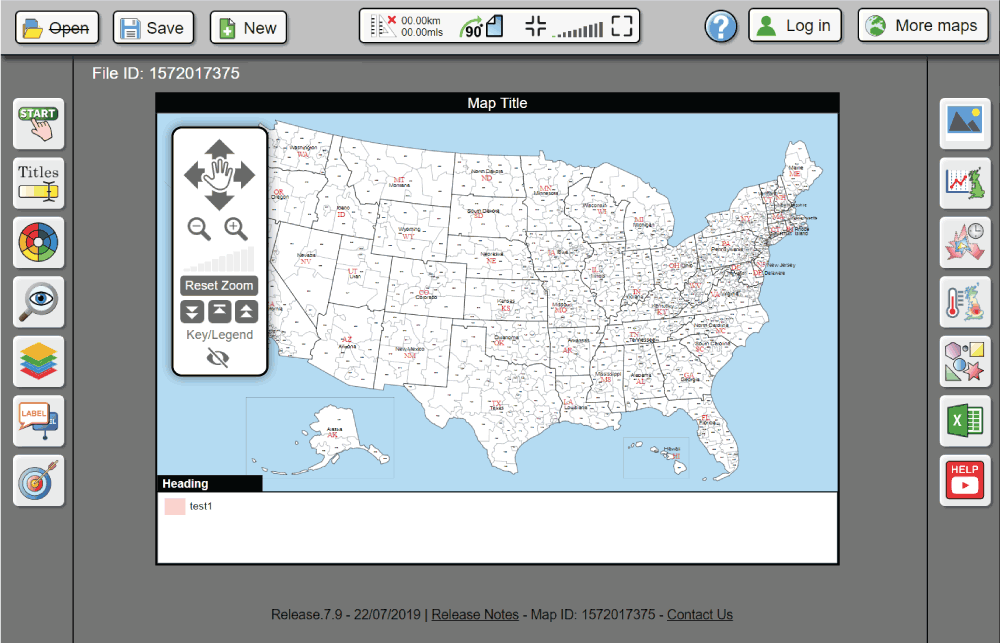
The 3-digit area map files download shows all 923 areas throughout the whole country, including Alaska and Hawaii. This download will include 9 different file formats that will allow you to work with in a multitude of different vector editing packages. If you aren't proficient with vector editing don't worry, every web design, printing or graphic design company will be perfectly happy with the files you recieve in this download.
Features Included

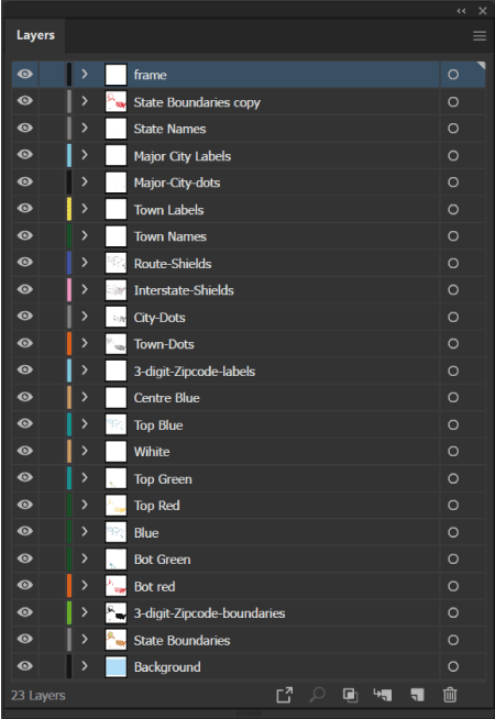
Perfectly Layered Map Artwork
It's great to have a super detailed map of your desired country showing everything from towns to interstates, road badges and towns but it's potential will quickly run out if you can only use it with everything showing. That's why we've worked hard to categorize and layer everything on these maps. You will need access to a piece of vector editing software but you can easily show and hide layers before exporting as a new file.
This is perfect for those of you who want to show all the roads throughout the United states one day and all the major cities another. Both are perfect quality and can be used easily.
Includes Main Roads, Interstates and Towns
The main problem of most US maps on the internet is the lack of detail on everything other than the state and zip code boundaries. We've amalgamated multiple different data sources in order to show: states, state names, 3-digit zip codes, Highways, Interstates, Road Names, Road Badges, Towns and Cities.
All of these layers can be shown and hidden easily. If you want to just show the main roads in a particular state for a presentation that's easily possible.

Fully Vector Editable, Print-Ready Artwork
In order for us to layer the artwork and make it editable after download we needed to produce these maps as vector and by hand.
Every pixel on a regular raster image is either red, green or blue. The problem with this is the fact that, as you zoom in the pixels get bigger and the quality reduces.
Vector graphics, on the other hand are images that are made up from a list of 2D coordinates that produce lines and curves in order to make a design. Every point on a piece of vector artwork has a definite position, no matter the zoom level. This is important because it means you will never lose any quality. You can print a piece of vector artwork at the size of a bus perfectly fine.
5-Digit Zip Code Files
- Vector Editable Artwork
- Discounted Bulk Buy
- 5-Digit Zip Codes maps


