MAP of ZIP CODES
Zip Code Map Designers
3 Digit Zip Code Maps and Customizable Sales Territory Maps of the USA States and Zip code Region Maps and Heat Maps
MAP of ZIP CODES
Zip Code Map Designers
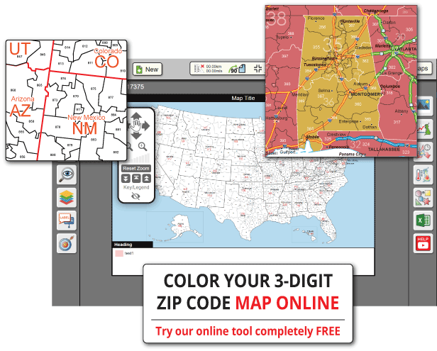
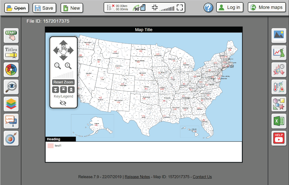
Create gorgeous territory maps, sales maps, population maps, heatmaps and more with the gbmaps map coloring system.

Create gorgeous territory maps, sales maps, population maps, heatmaps and more with the GB Maps map coloring system.

High quality heatmaps and chloropleth maps can be imported from an excel or CSV document easily on our map coloring system. Our intelligent zip code validation will work with any length or format of zip code. The only other information you need is your data. This could be anything from population to sales, revenue or premises' owned.
Create gorgeous territory maps, sales maps, population maps, heatmaps and more with the GB Maps map coloring system.
High quality heatmaps and chloropleth maps can be imported from an excel or CSV document easily on our map coloring system. Our intelligent zip code validation will work with any length or format of zip code. The only other information you need is your data. This could be anything from population to sales, revenue or premises' owned.
Read the Docs 🠦
Crowdfunder integrated Stripe to create a seamless, compliant, and scalable fundraising experience for their growing community of hundreds of campaigns and donors.

Crowdfunder integrated Stripe to create a seamless, compliant, and scalable fundraising experience for their growing community of hundreds of campaigns and donors.
High quality heatmaps and chloropleth maps can be imported from an excel or CSV document easily on our map coloring system. Our intelligent zip code validation will work with any length or format of zip code. The only other information you need is your data. This could be anything from population to sales, revenue or premises' owned.
High quality heatmaps and chloropleth maps can be imported from an excel or CSV document easily on our map coloring system. Our intelligent zip code validation will work with any length or format of zip code. The only other information you need is your data. This could be anything from population to sales, revenue or premises' owned.
High quality heatmaps and chloropleth maps can be imported from an excel or CSV document easily on our map coloring system. Our intelligent zip code validation will work with any length or format of zip code. The only other information you need is your data. This could be anything from population to sales, revenue or premises' owned.
High quality heatmaps and chloropleth maps can be imported from an excel or CSV document easily on our map coloring system. Our intelligent zip code validation will work with any length or format of zip code. The only other information you need is your data. This could be anything from population to sales, revenue or premises' owned.
High quality heatmaps and chloropleth maps can be imported from an excel or CSV document easily on our map coloring system. Our intelligent zip code validation will work with any length or format of zip code. The only other information you need is your data. This could be anything from population to sales, revenue or premises' owned.
High quality heatmaps and chloropleth maps can be imported from an excel or CSV document easily on our map coloring system. Our intelligent zip code validation will work with any length or format of zip code. The only other information you need is your data. This could be anything from population to sales, revenue or premises' owned.
High quality heatmaps and chloropleth maps can be imported from an excel or CSV document easily on our map coloring system. Our intelligent zip code validation will work with any length or format of zip code. The only other information you need is your data. This could be anything from population to sales, revenue or premises' owned.
High quality heatmaps and chloropleth maps can be imported from an excel or CSV document easily on our map coloring system. Our intelligent zip code validation will work with any length or format of zip code. The only other information you need is your data. This could be anything from population to sales, revenue or premises' owned.
High quality heatmaps and chloropleth maps can be imported from an excel or CSV document easily on our map coloring system. Our intelligent zip code validation will work with any length or format of zip code. The only other information you need is your data. This could be anything from population to sales, revenue or premises' owned.
High quality heatmaps and chloropleth maps can be imported from an excel or CSV document easily on our map coloring system. Our intelligent zip code validation will work with any length or format of zip code. The only other information you need is your data. This could be anything from population to sales, revenue or premises' owned.

Crowdfunder integrated Stripe to create a seamless, compliant, and scalable fundraising experience for their growing community of hundreds of campaigns and donors.
Our prices are regarded as some of the lowest in the industry. At the same time we provide some of the most feature rich software for people all over the world. The prices below are for a 1 year pass to the system. You can choose between the states map, 3-digit zip codes and county boundaries. Your 1 year subscription does not automatically renew. If you liked the software simply come back after the year and purchase again. All your maps will still be there.
STATE BOUNDARIES
3-DIGIT ZIP CODES
COUNTY BOUNDARIES